


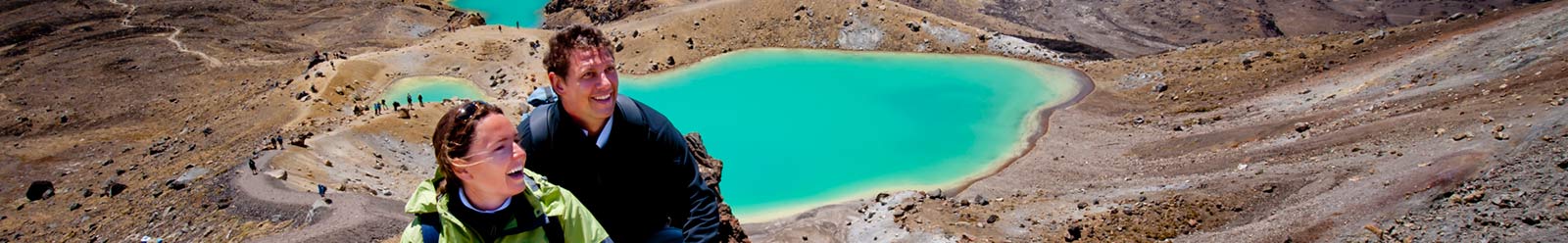


Ruapehu - Tongariro Alpine Crossing National Parks
The Tongariro Alpine Crossing is a one-way hike of 19.4km in either direction between Mangatepopo to Ketetahi and traverses between the mountains of Ngauruhoe and Tongariro. Usually people travel from Mangatepopo to Ketetahi, because it is considered the easier direction due to Mangatepopo drop-off point being at a higher elevation than the Ketatahi drop-off point.
Find By
-
TONGARIRO TRANSPORT HUB - Tongariro Alpine Crossing
TONGARIRO TRANSPORT HUB - Tongariro Alpine Crossing

Mobile-friendly - Welcome to the Tongariro Transport Hub, the ONLY all-day carpark and shuttle service close to the Tongariro Alpine Crossing trail that allows you to safely park, take a shuttle to the start of the track and walk the hike back to your vehicle without the pressure of having to meet a return shuttle time at the end of the track.


- M
- +64 27 498 4632
- A
- Turangi, New Zealand

Select by Map
This Ruapehu - Tongariro Alpine Crossing national parks map displays tourism business locations in your chosen region, area, city or township. Click on a Ruapehu - Tongariro Alpine Crossing map location icon to display more information.